|
In March, 2006, the Ten Towns Committee adopted a Best Management Practice entitled Discharges from Residential Swimming Pools. Member communities are urged to give this the widest distribution to pool-owning residences.
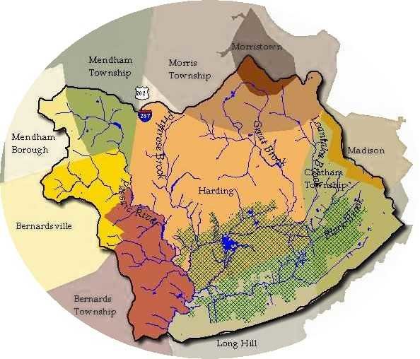
Mendham Township recently completed a comprehensive inventory of all its Conservation Easements and made notification to all affected property owners. We are publishing their Project Description and all the related documents, for use as a pattern for action by other communities.
Congress is working on legislation to remove tax credits for donations of conservation easements. To learn more about this, please visit the Land Trust Alliance.
New Jersey DEP Environmental Primer.
View a series of documents and plans for the Loantaka Brook Headwaters Restoration Project
 The 2009 Macroinvertebrate Sampling Report is posted. The 2009 Macroinvertebrate Sampling Report is posted.
Shrine of St. Joseph Bioretention Demonstration Project
Understand New Jersey's new stormwater legislation by reading this Introduction for Municipal Officials and read a short list of municipal action items.
On our Links Page
- New Jersey's stormwater regulations - A state DEP website with information about the new stormwater permitting and management programs and other useful ideas on how you can help keep our state's waters clean.
|